
Nesta have recently launched the kids version of Longitude, their £10 million science challenge prize. The Longitude Explorer Prize challenges 11-16 year olds to come up with ideas that use data from satellites for social good, with £25 000 for the winners. Just like the Longitude prize which originally outlined 6 of the major scientific challenges of our day, from antibiotic resistance to clean water, Longitude Explorer has 6 teams for kids: Friends and Family, Personal Safety, Environment, Education, Transport, and Healthy and Active Lifestyles.
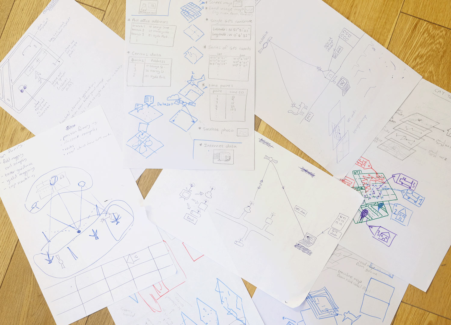
Nesta had teachers’ guides and lesson plans, but needed some material aimed at kids which would engage and inspire them to harness the power of satellites. We wanted a low barrier to entry to getting involved, but without shielding inquisitive young minds from stimulating details about the data. We created a classroom worksheet with 2 real-life examples for each of the 6 teams showing how satellite data like GPS coordinates, aerial photos, and vegetation maps are used. One of our favourite examples was Trash Tracker (for the Education team), where rubbish is GPS tracked across the country, in an effort to teach us as much about the “removal chain” as we know about the supply chain. Another was Figure Running (for the Healthy and Active Lifestyles team) where people use their jogging route to create giant line drawings on maps.
Design process
We tried to make each example understandable by showing how it is built up from simple components of satellite data. After kids see how to break down each example, they get a chance to cut out their own components to arrange and play with, hopefully inspiring some winning ideas. Our Starter Kit for kids is available on the Explorer website.
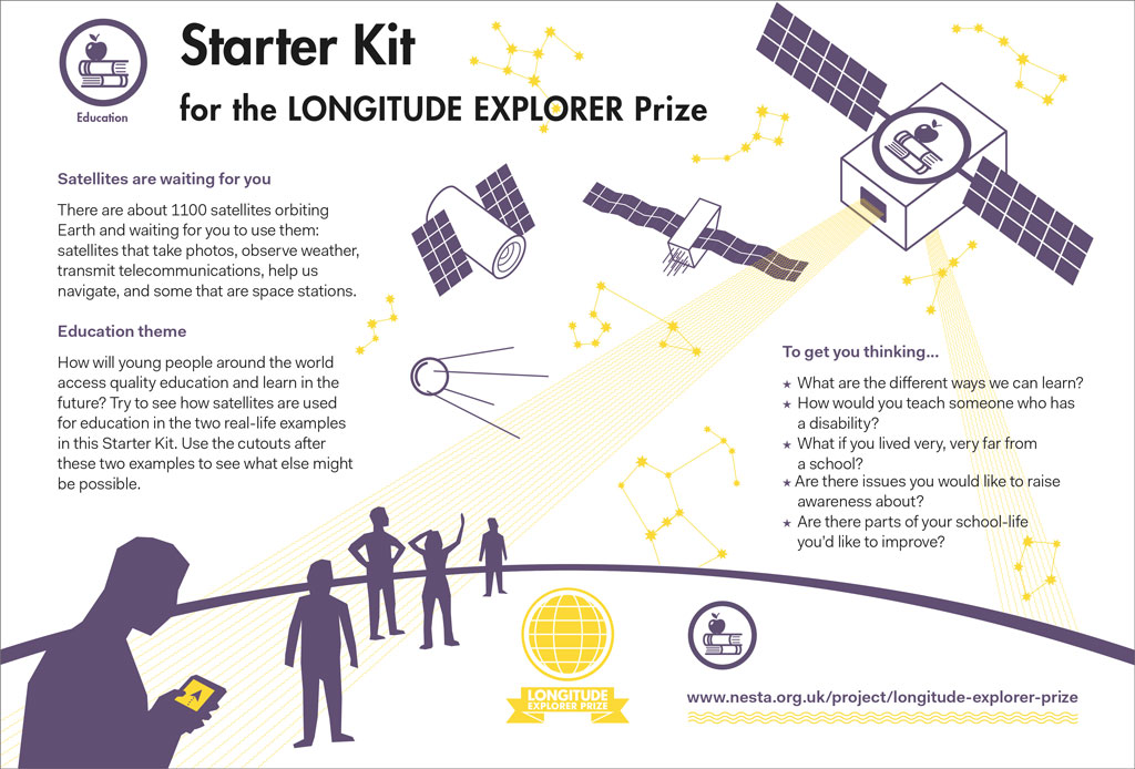
Front cover of starter kit